Огляд Елементів
Ознайомтеся з нашою колекцією елементів
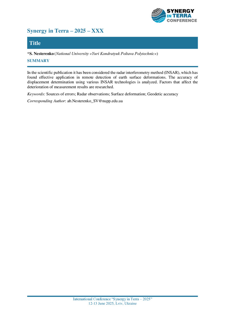
Sources of errors in satellite radar measurements of earth surface deformations
In the scientific publication it has been considered the radar interferometry method (INSAR), whi...
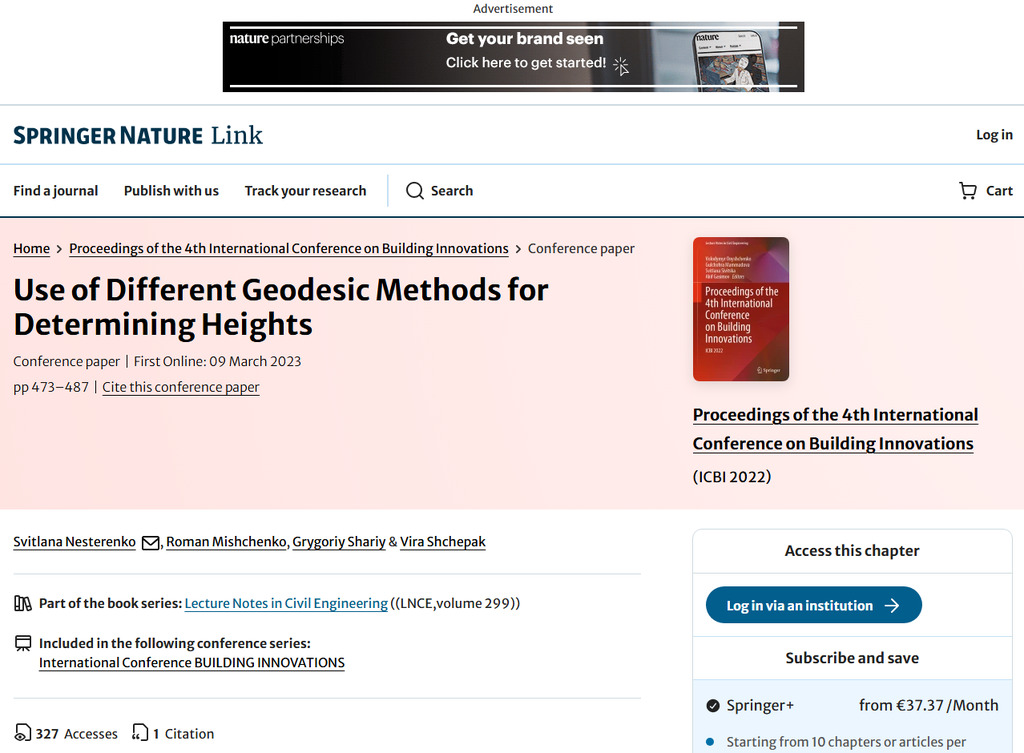
Use of Different Geodesic Methods for Determining Heights
The issue of the effectiveness of using various geodetic methods for determining vertical displac...
Sources of errors in satellite radar measurements of earth surface deformations
In the scientific publication it has been considered the radar interferometry method (INSAR), which has found effective application in remote detection of earth surface deformations. The accuracy o...
Стаття 2025/12/12
Use of Different Geodesic Methods for Determining Heights
The issue of the effectiveness of using various geodetic methods for determining vertical displacements of the earth's surface, including the use of satellite technologies, is considered. The verti...
Стаття 2025/12/12