Огляд Елементів
Ознайомтеся з нашою колекцією елементів
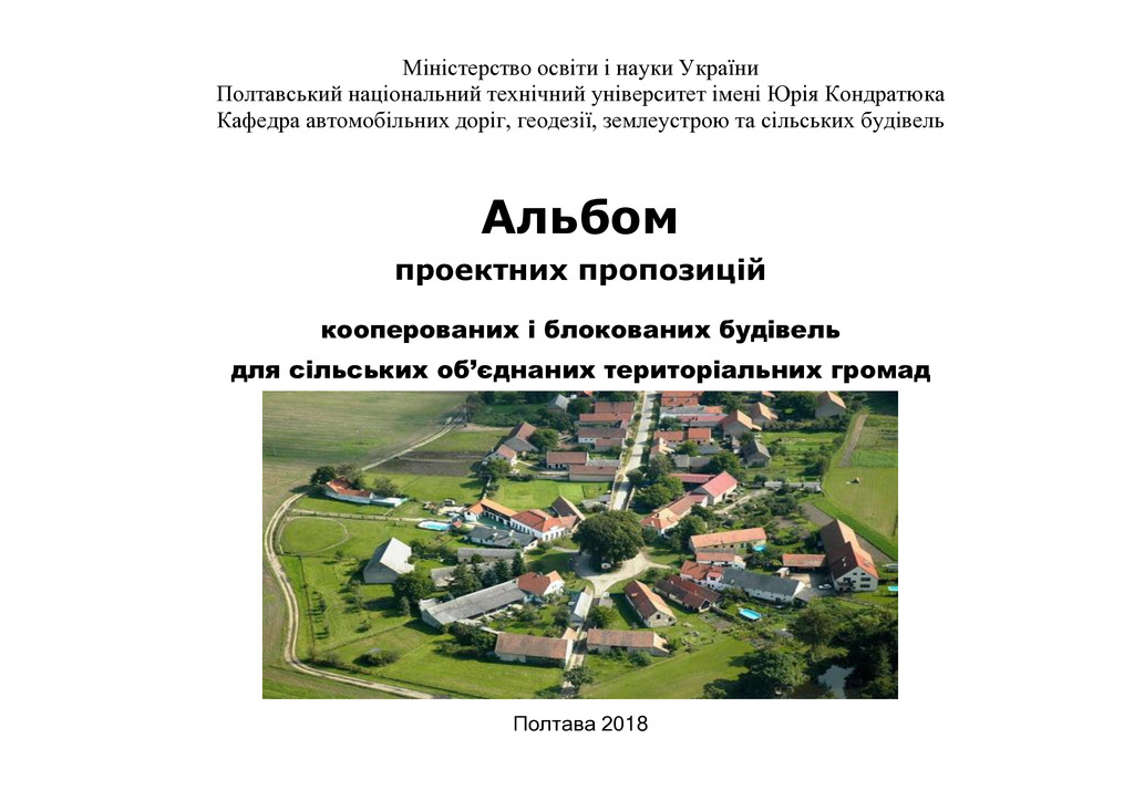
Альбом проектних пропозицій кооперованих і блокованих будівель для сільських об’єднаних територіальних громад
В альбомі представлено проектні пропозиції формування сільських будівель на принципах кооперуванн...

Geo-ecological monitoring in the regional land use system
The relevance of the research topic and the feasibility of its development have been determined. ...
Динаміка вертикальних рухів земної поверхні Придніпровської низовини
Здійснено аналіз динаміки вертикальних рухів перманентних супутникових станцій земної поверхні Пр...
Geoinformation management systems at an agricultural enterprise of organic production
In Ukraine, agricultural enterprises that have introduced organic production organize their activ...

Comprehensive processing of InSAR radar images and GNSS measurements to determine deformations of the Kaniv HPP dam
Military aggression in Ukraine and military actions led to numerous technogenically loaded and ec...
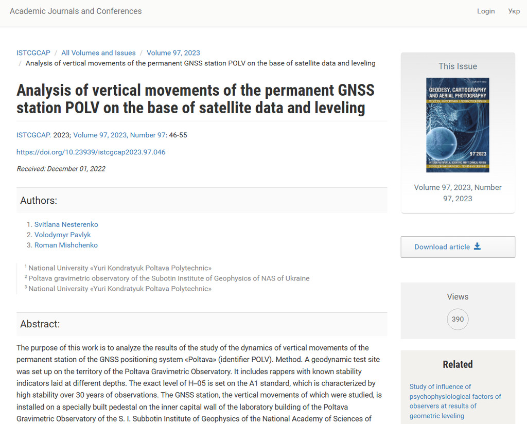
Analysis of vertical movements of the permanent GNSS‒station POLV on the base of satellite data and leveling
The purpose of this work is to analyze the results of the study of the dynamics of vertical movem...

Альбом проектних пропозицій кооперованих і блокованих будівель для сільських об’єднаних територіальних громад
В альбомі представлено проектні пропозиції формування сільських будівель на принципах кооперування та блокування. Розроблені проектні вирішення фермерських господарств, які спеціалізуються з виробн...


Geo-ecological monitoring in the regional land use system
The relevance of the research topic and the feasibility of its development have been determined. The goal set in the article has been achieved and the tasks have been solved regarding: substantiati...
Стаття 2026/01/08

Якісне відображення географічних об’єктів на картах
Стаття 2026/01/06
Сам собі господар: енергетична незалежність фермерських господарств
Стаття 2026/01/06
Динаміка вертикальних рухів земної поверхні Придніпровської низовини
Здійснено аналіз динаміки вертикальних рухів перманентних супутникових станцій земної поверхні Придніпровської низовини на основі даних ГНСС–вимірів і дистанційного зондування Землі. Визначено зміщ...
Стаття 2025/12/17
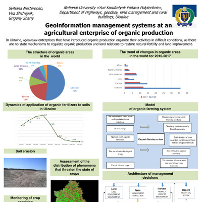
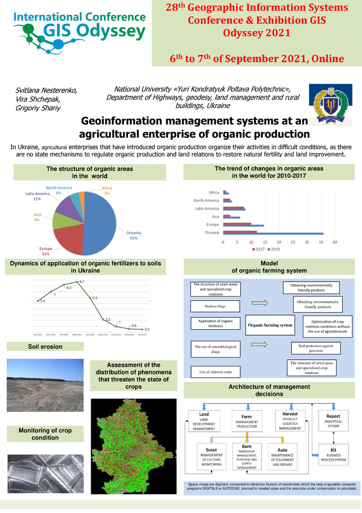
Geoinformation management systems at an agricultural enterprise of organic production
In Ukraine, agricultural enterprises that have introduced organic production organize their activities in difficult conditions, as there are no state mechanisms to regulate organic production and l...
Стаття 2025/12/17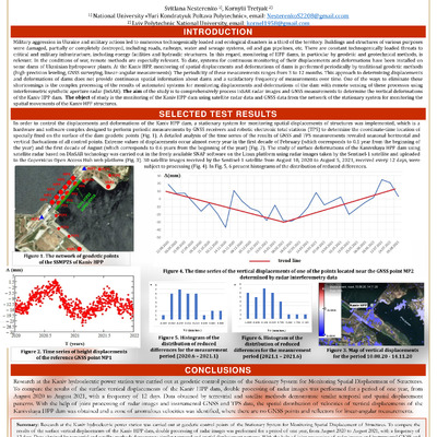
Comprehensive processing of InSAR radar images and GNSS measurements to determine deformations of the Kaniv HPP dam
Military aggression in Ukraine and military actions led to numerous technogenically loaded and ecological disasters in a third of the territory. Buildings and structures of various purposes were da...
Стаття 2025/12/17
InSAR для моніторингу деформацій техногенно-навантажених територій
Стаття 2025/12/17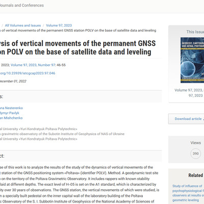
Analysis of vertical movements of the permanent GNSS‒station POLV on the base of satellite data and leveling
The purpose of this work is to analyze the results of the study of the dynamics of vertical movements of the permanent station of the GNSS positioning system «Poltava» (identifier POLV). Method. A ...
Стаття 2025/12/17